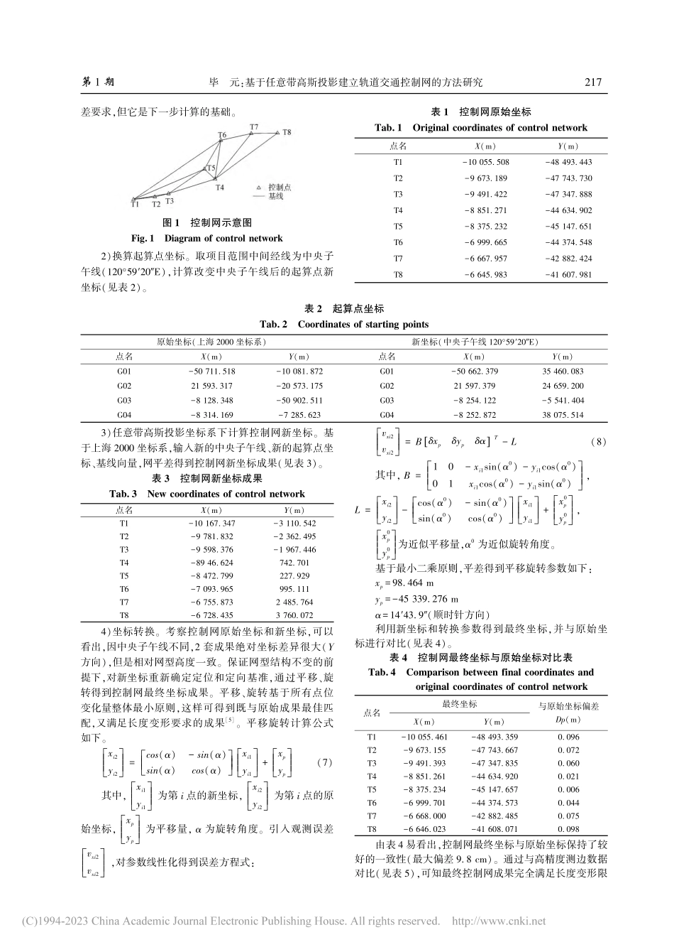
第46卷第1期2023年1月测绘与空间地理信息GEOMATICS&SPATIALINFORMATIONTECHNOLOGYVol.46,No.1Jan.,2023收稿日期:2022-01-17作者简介:毕元(1990-),男,山西晋城人,工程师,硕士,2015年毕业于同济大学大地测量学与测量工程专业,主要从事精密工程测量及数据处理方面的工作。基于任意带高斯投影建立轨道交通控制网的方法研究毕元1,2(1.上海市测绘院,上海200063;2.自然资源部超大城市自然资源时空大数据分析应用重点实验室,上海200063)摘要:建设城市轨道交通工程需要建立高精度平面控制网,在距离城市坐标系中央子午线较远的区域,会产生较大的高斯投影变形,导致平面控制网的理论边长与实测边长产生较大偏差。本文阐述了控制网边长变形的基本原理,并以上海郊区某轨道交通项目为例展开研究,确定了建立平面控制网的方法:首先,计算控制网原始坐标;然后,变换中央子午线计算控制网新坐标;最后,基于最小二乘准则通过平移、旋转三参数得到控制网最终坐标,通过数据演算对比,验证该方法有效,能够满足工程建设需求。关键词:高斯投影变形;最小二乘准则;参数转换;仿射变换中图分类号:P224文献标识码:A文章编号:1672-5867(2023)01-0215-04ResearchontheMethodofConstructingRailTransitControlNetworkBasedonArbitraryZoneGaussianProjectionBIYuan1,2(1.ShanghaiSurveyingandMappingInstitute,Shanghai200063,China;2.KeyLaboratoryofSpatio-temporalBigDataAnalysisandApplicationofNaturalResourcesinMegacities,MNR,Shanghai200063,China)Abstract:Theconstructionofurbanrailtransitprojectrequiresthehigh-accuracyhorizontalcontrolnetwork.Intheareafarfromthecentralmeridianoftheurbancoordinatesystem,therewillbelargeGaussianprojectiondeformation,resultinginalargedeviationbe-tweenthetheoreticalsidelengthandthemeasuredsidelength.Thispaperexpoundsthebasicprincipleofthesidelengthdeformationofthecontrolnetwork,takesarailtransitprojectinthesuburbofShanghaiasanexample,anddeterminesthemethodofestablishingthehorizontalcontrolnetwork:first,itcalculatestheoriginalcoordinatesofthecontrolnetwork,thencalculatesthecoordinatesofthefixedpointafterthetransformationofthecentralmeridian,calculatesthenewcoordinatesbasedonthenewcentralmeridianandfixedpoint,andthenobtainsthefinalcoordinatesthroughtranslationandrotation.Itis...